Aerial Filming & Photography
Cinematic 4K HDR video and stills that turn a property, product or location into something unforgettable.
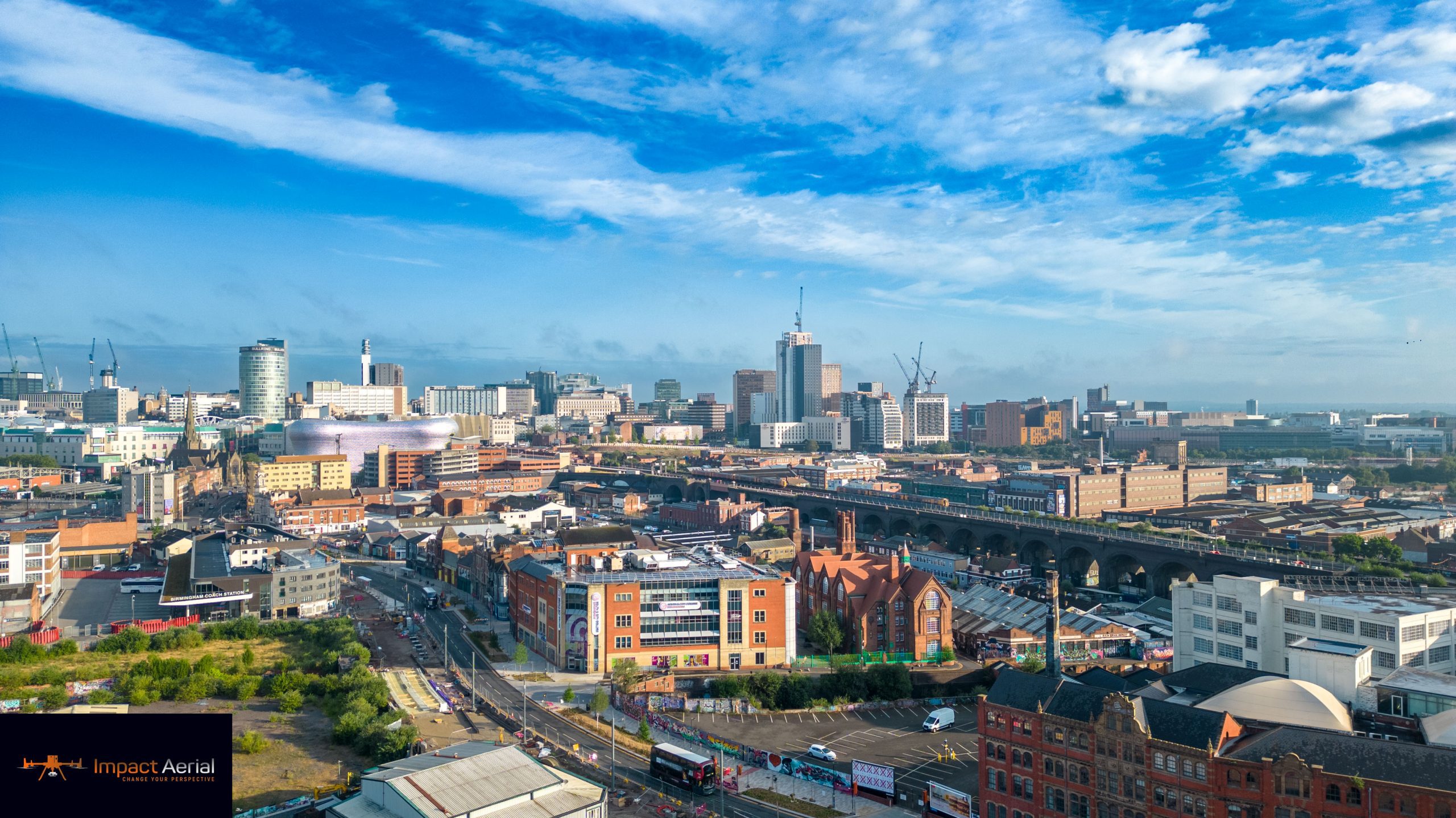
Commercial drone filming, photography and survey that reveals angles and perspectives the ground can never give you — flown by CAA GVC-certified pilots on a 4K HDR DJI Enterprise fleet.
From first consultation and project management through to piloting, data capture, editing and post-production, Impact Aerial delivers breath-taking results that showcase never-before-seen views.
Our fleet runs the latest 4K, High Dynamic Range DJI Enterprise commercial drones, operated by fully trained and licensed pilots who follow a strict code of conduct and meet stringent industry safety requirements. Every operator is CAA GVC certified under the current regulations.
For complete peace of mind we carry £5m of commercial liability insurance and serve a wide range of industries — property, construction, advertising and survey — including full 360° virtual tours.
A top-quality, affordable and fully professional service — so you get the results you want, without the stress of manning new technology yourself.
Cinematic 4K HDR video and stills that turn a property, product or location into something unforgettable.
Fast, accurate capture from hard-to-reach areas — reducing manual inspection and improving site safety.
Explore → 03Roof and building inspections without scaffold or cherry-pickers — detailed imagery delivered to your inbox.
Explore → 04Progress capture across the build programme — from site clearance to practical completion, repeatable every visit.
Explore →Thermal and solar-PV farm surveys that reveal heat loss, faults and performance issues invisible to the eye.
Survey-grade 3D models and mapping of built environment projects for planning, design and documentation.
A considered process from first call to final files — so nothing is left to chance in the air or on the ground.
We plan to your exact needs, with our own pre-site research and scoping.
A full site survey with pre-approvals from authorities, landowners and air traffic control where needed.
A site safety assessment for complete regulatory and operational compliance.
All filming and photography flown by our highly-trained pilots on specialist drones.
Finished in Lightroom, Premiere Pro and DaVinci Resolve for a polished end result.
You review everything and we refine until you're completely happy.
Final work delivered via private Google Cloud Drive — or WeTransfer Pro on request.
Signed off, delivered and ready to use across your channels.
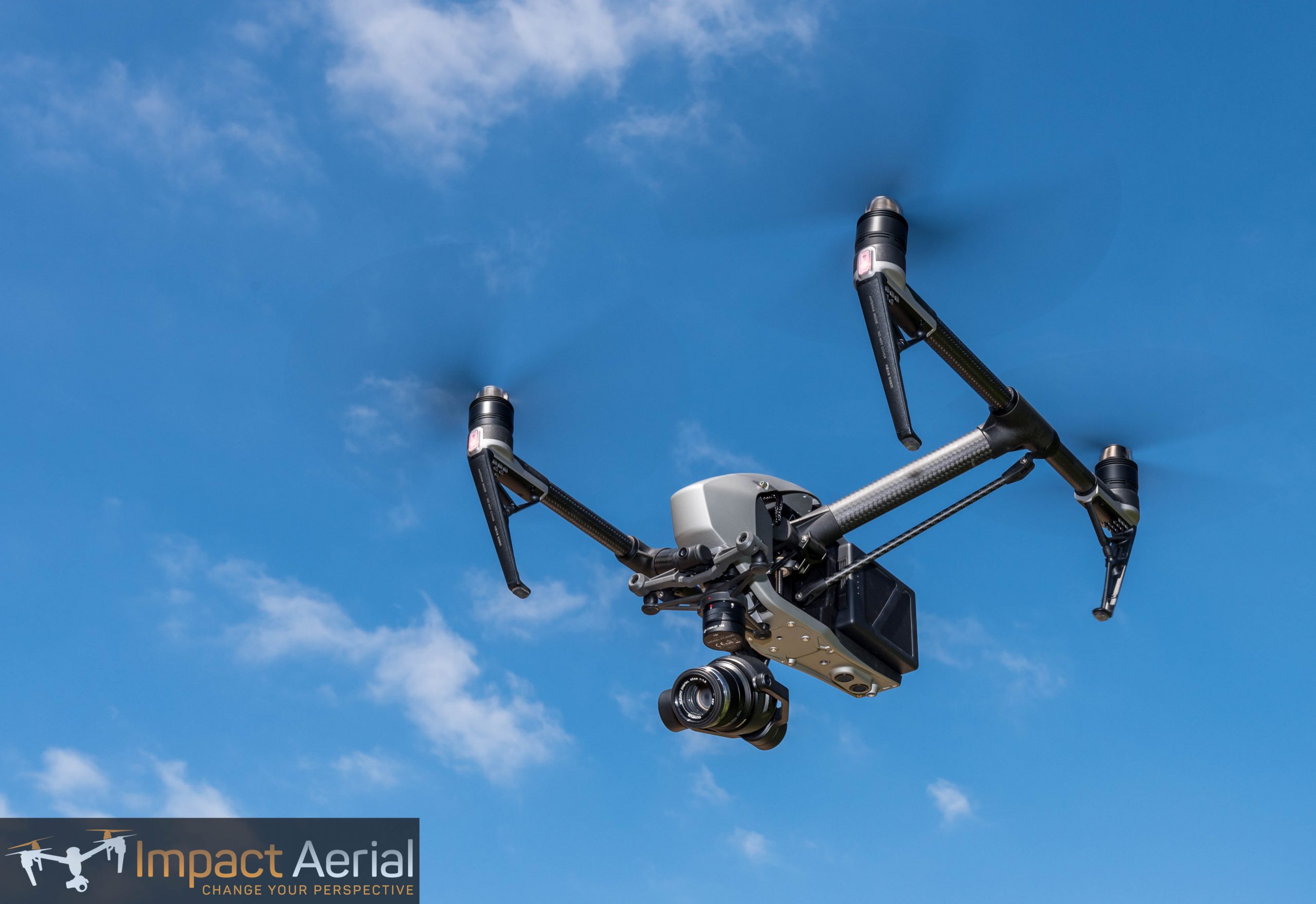
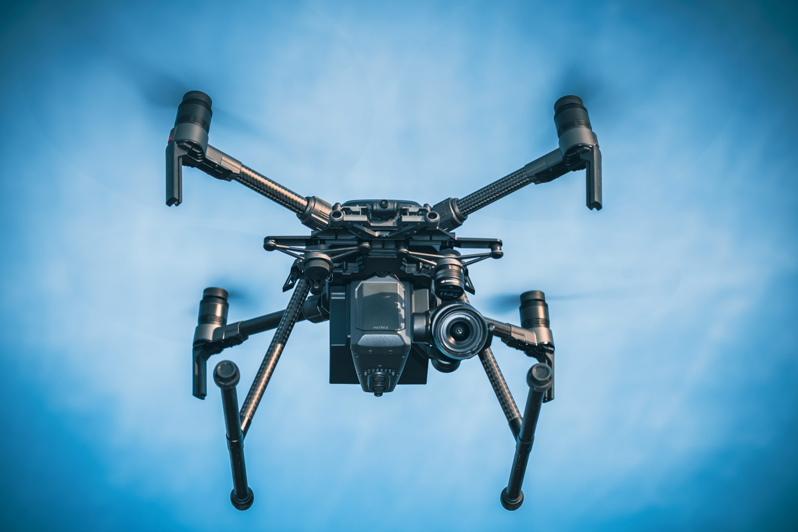
We fly the latest DJI Enterprise platforms — rugged, redundant and camera-ready. Interchangeable payloads mean the right sensor goes up for the right job, from cinema-grade stills to radiometric thermal.
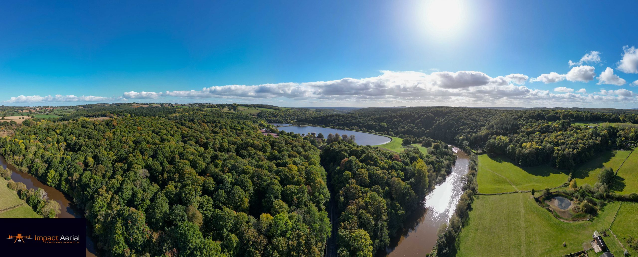
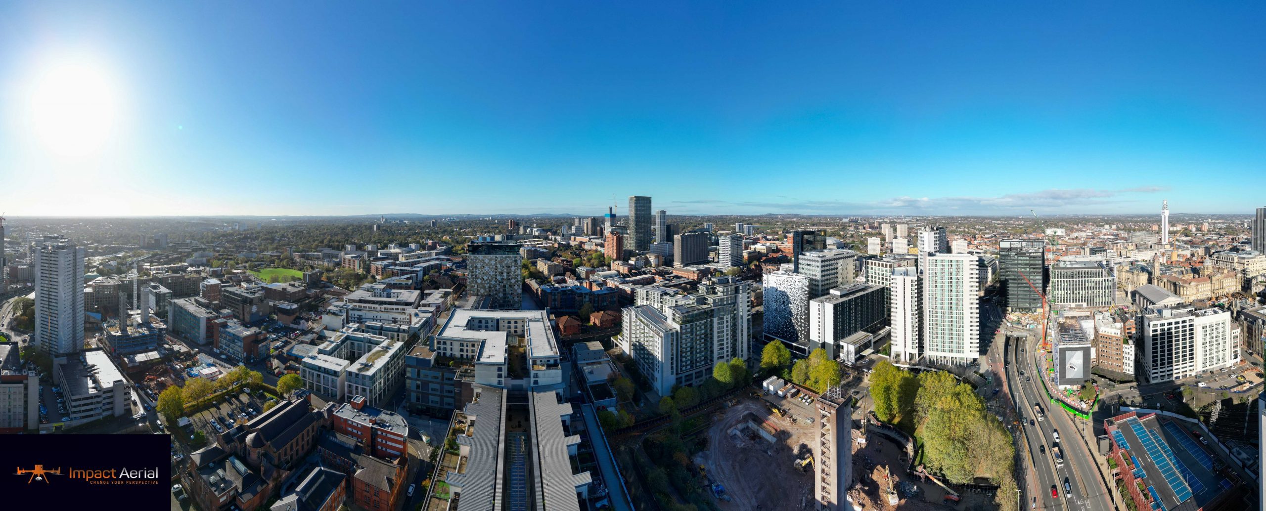
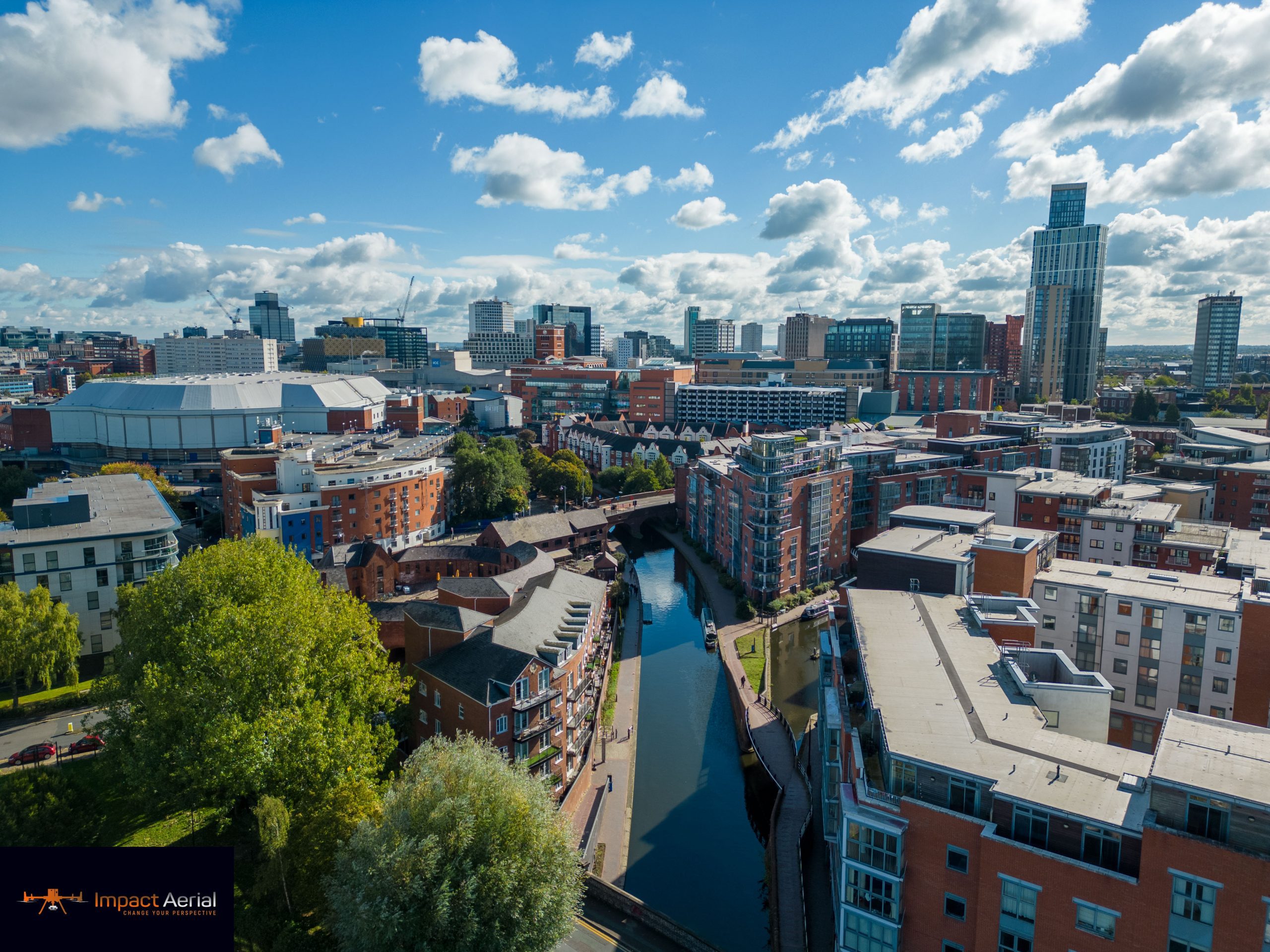
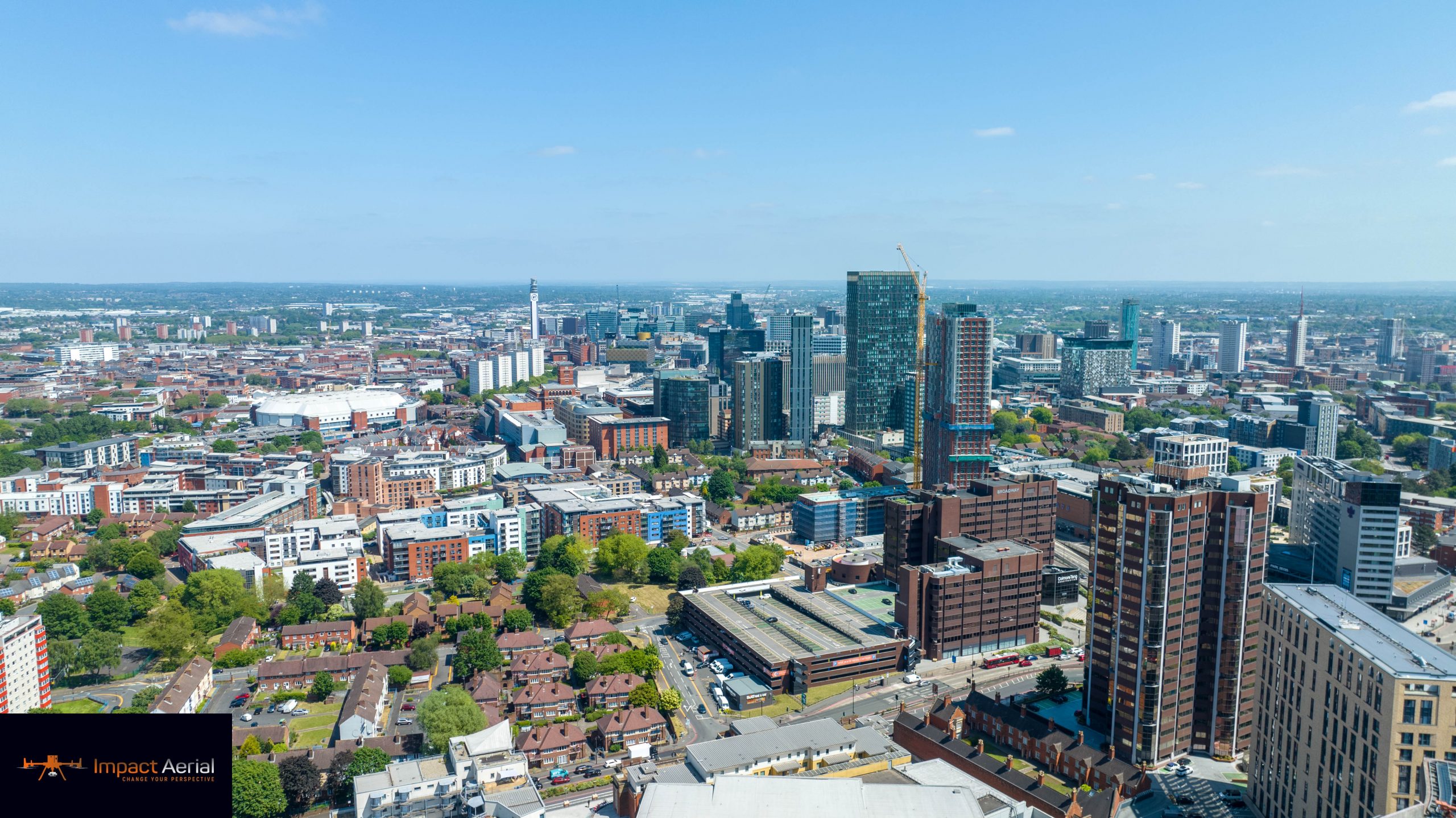
A selection of recent aerial captures across the city and the Midlands. Tap any frame to view it full-size.
We're proud to supply drone services across a broad range of sectors. Explore our four core markets below, or see the full list of industries we work with.
“Impact Aerial were a helpful team and produced an excellent result.”
“Nigel did a couple of jobs for me with great results. Will definitely be back with more projects in the future.”
“Very happy with the service we received. Called them last minute and Impact Aerial were very accommodating.”
“Good customer service — even if they don't have what you need, they'll advise on how best to get it.”
“Nigel was kind enough to voluntarily offer me information after I approached him online. Genuinely helpful.”
Read all of our reviews on Google & Trustpilot.
Leave a review →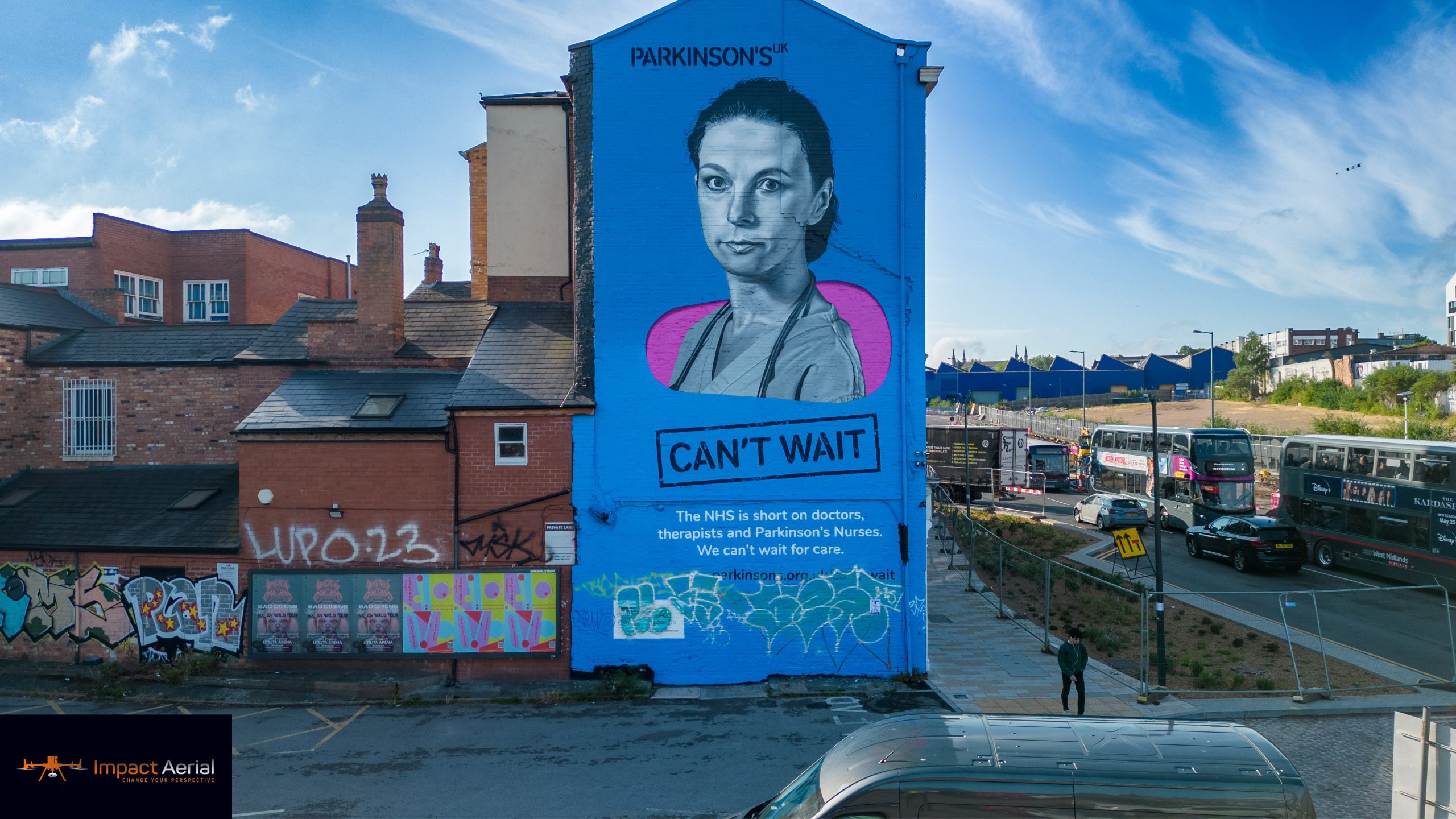
Tell us what you need and we'll talk you through it in plain terms — then give you a free, no-obligation quote. Based in Birmingham, flying across the Midlands and UK-wide.