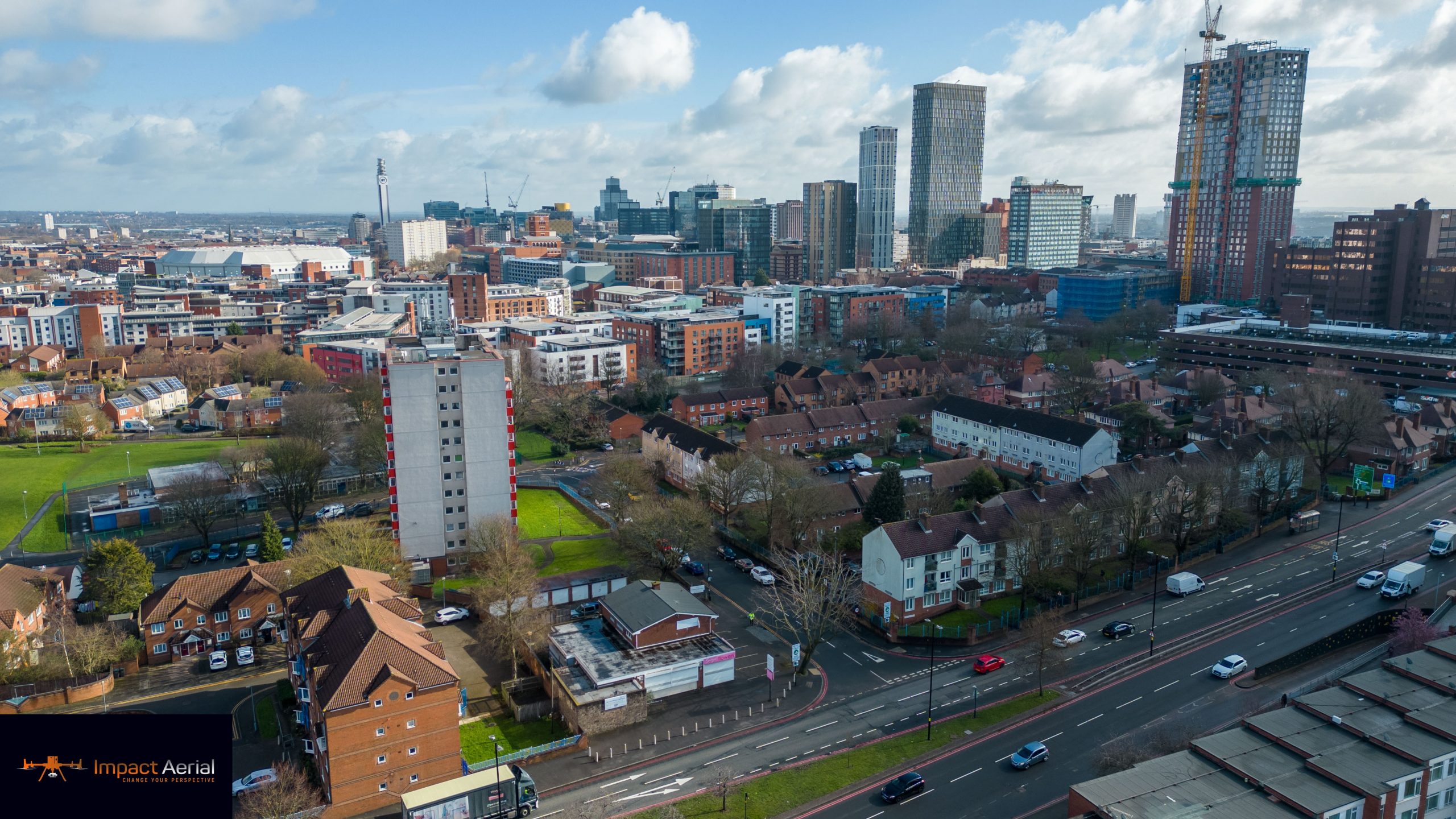
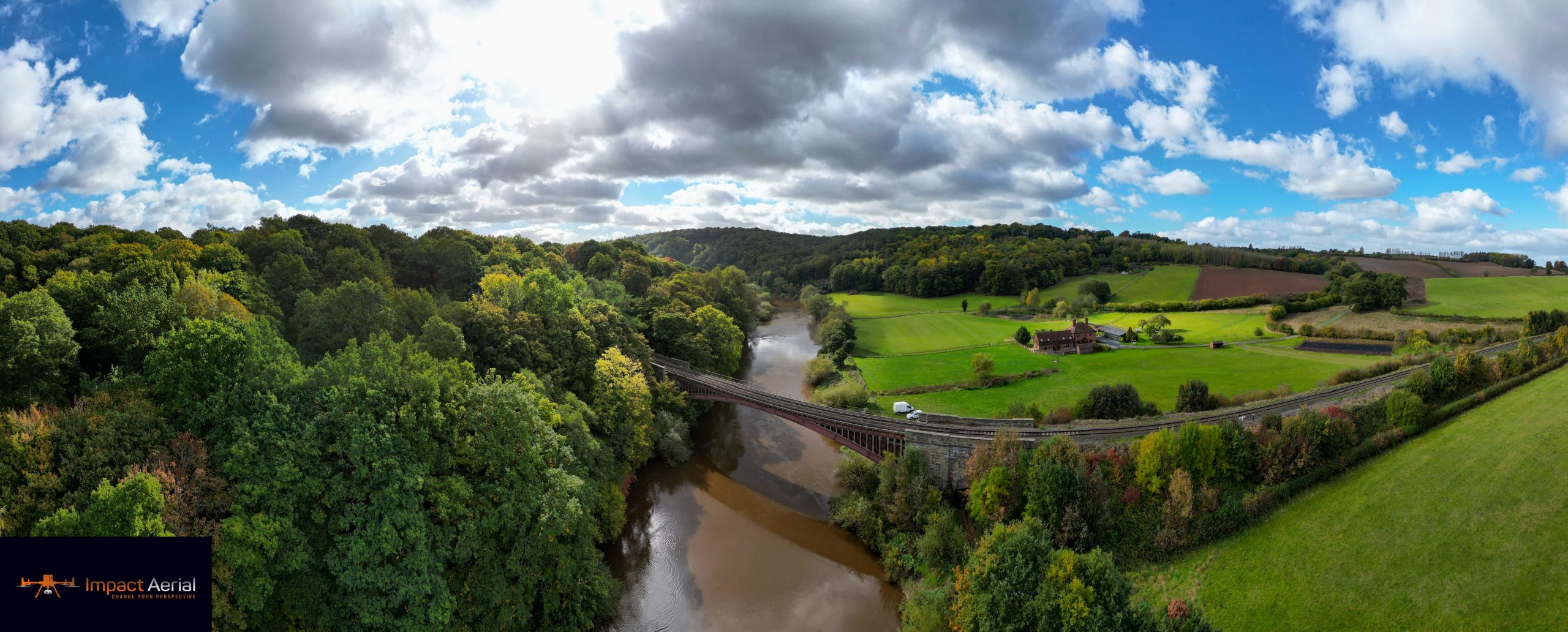
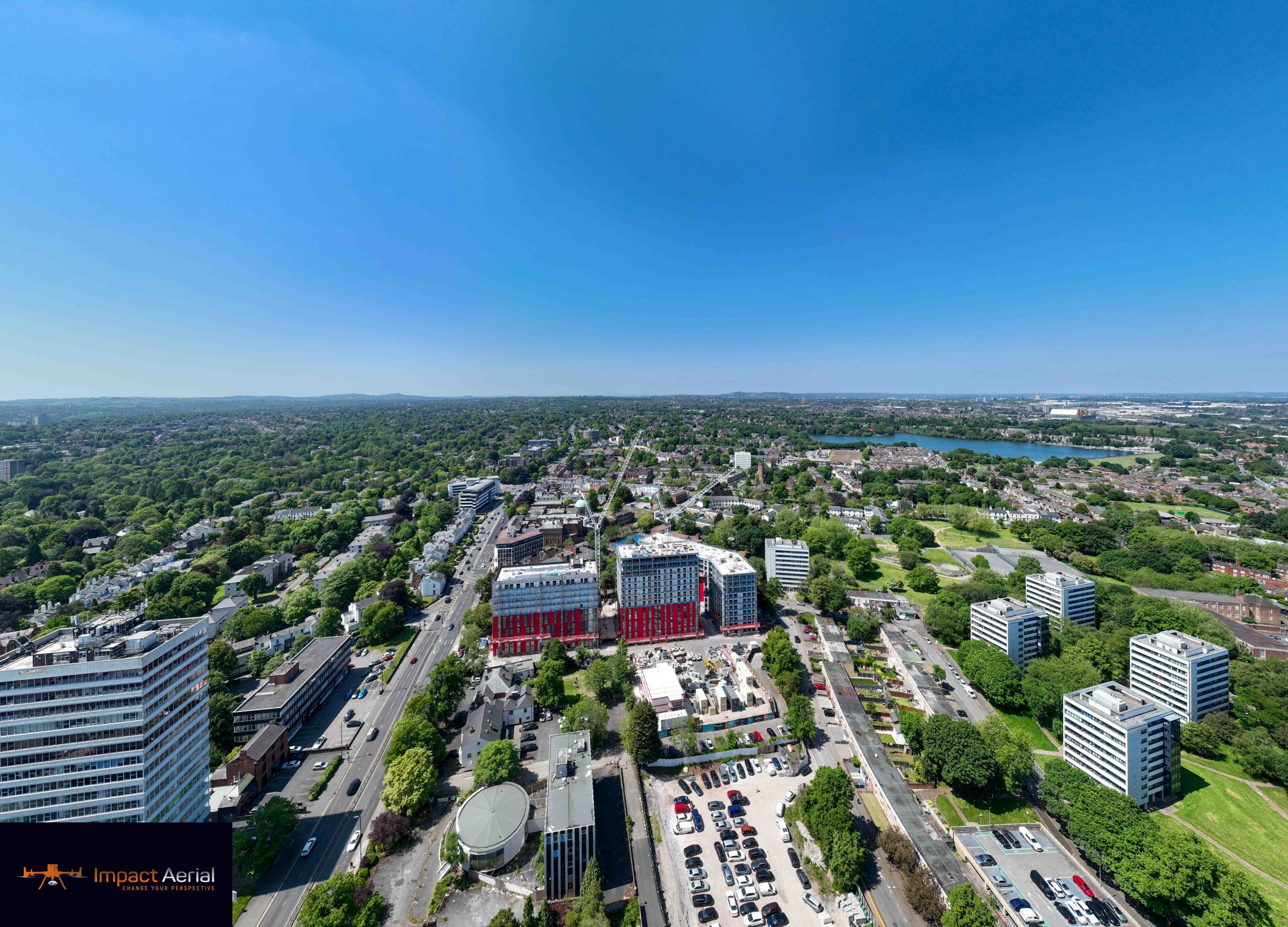
Real-Estate Photography
All-angle aerial photos and fly-over video that make a home, building or plot stand out and secure more viewings.
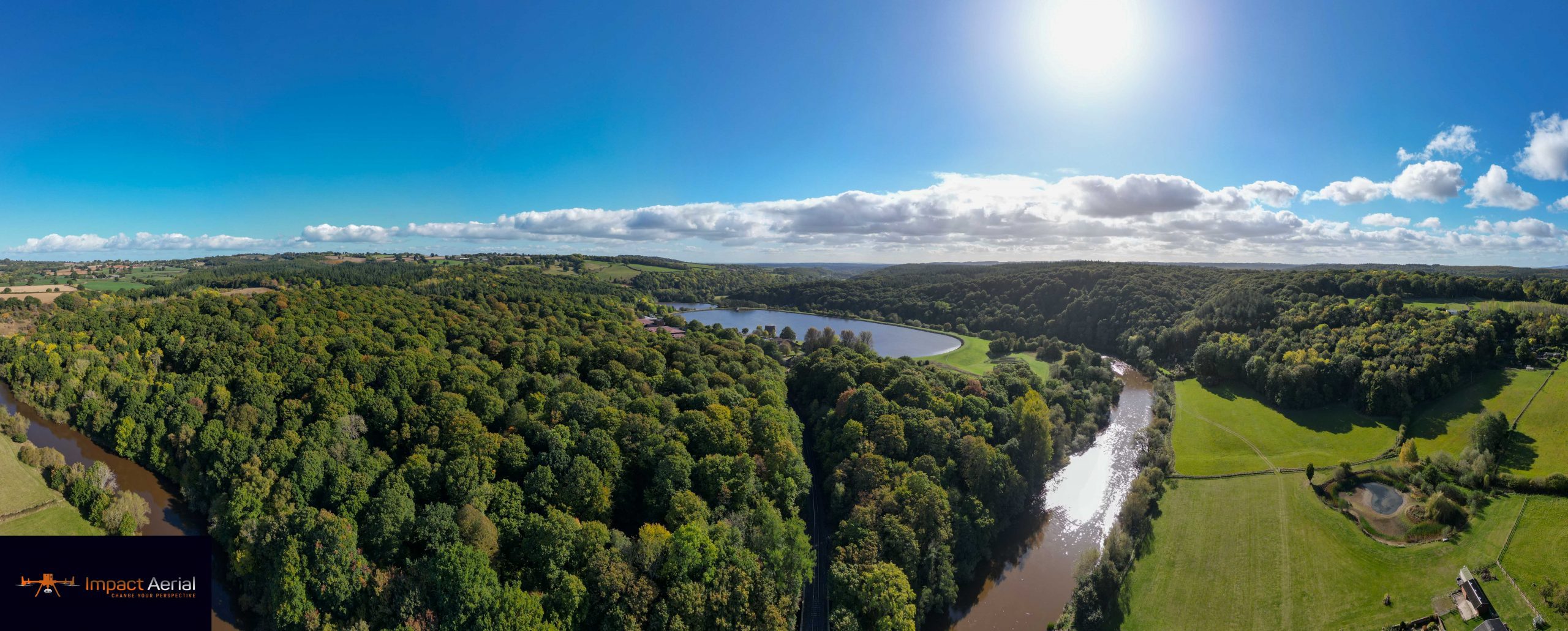
Roof and building inspections, real-estate imagery and land surveys — captured from the air, delivered to your inbox. Safer, faster and more affordable than traditional methods.
Drones have transformed the UK property sector, and drone property surveys have become a pivotal service for private and commercial clients alike. This isn't a passing trend — the advanced aerial imagery and high-definition footage drones offer are driving real demand across real estate.
Whether you need to strengthen your marketing, boost a sale or get a detailed view of a building, its land or its roof, Impact Aerial uses a fleet of high-end drones to help a diverse range of clients — from homeowners to estate agents, commercial firms to developers — present their properties in the best possible light.
We don't just assure top-tier results — we take the stress out of licensing and regulations. In the UK, a camera drone used commercially must carry a CAA operator ID and be fully insured, and there are strict rules on height, airspace and distance from people and property.
Every Impact Aerial flight is flown by a fully licensed, CAA GVC-certified pilot and covered by £5m of commercial liability insurance — so compliance is handled, and you're free to focus on the result.
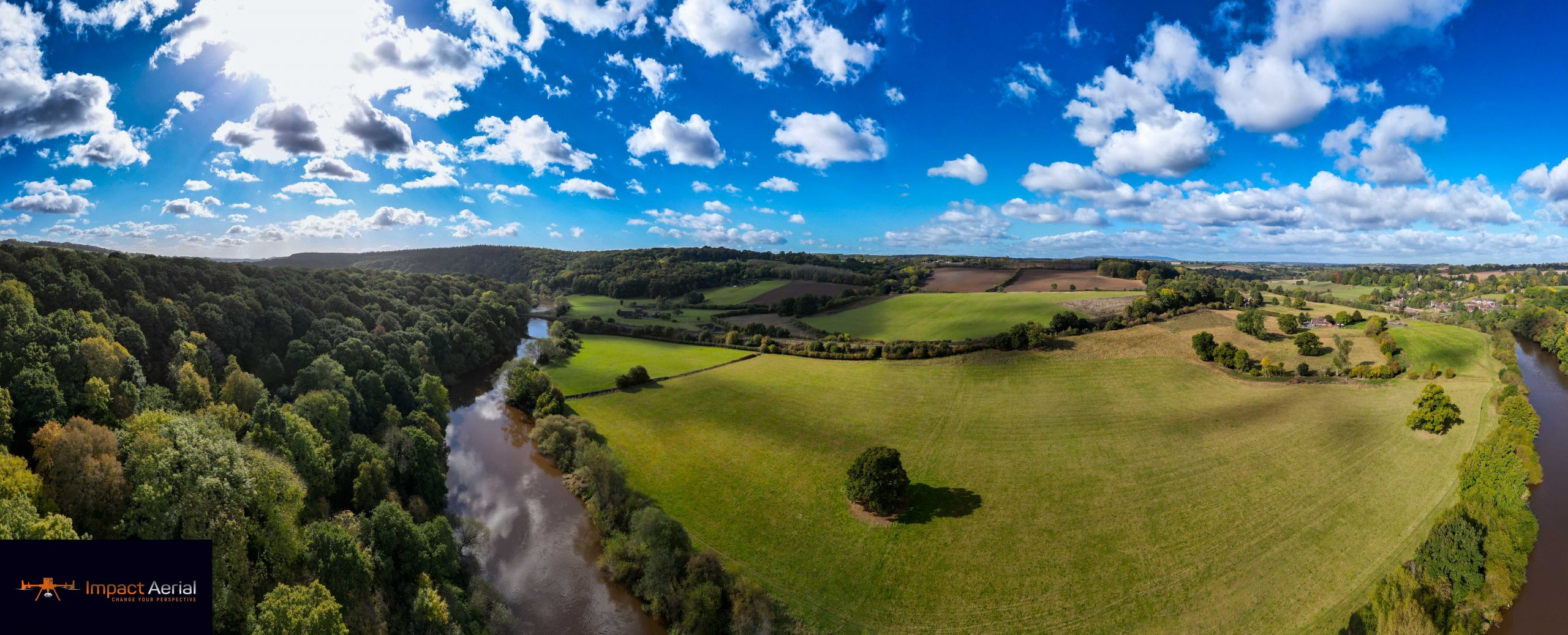
Aerial surveys offer advantages traditional methods simply can't match — in detail, speed, safety and cost.
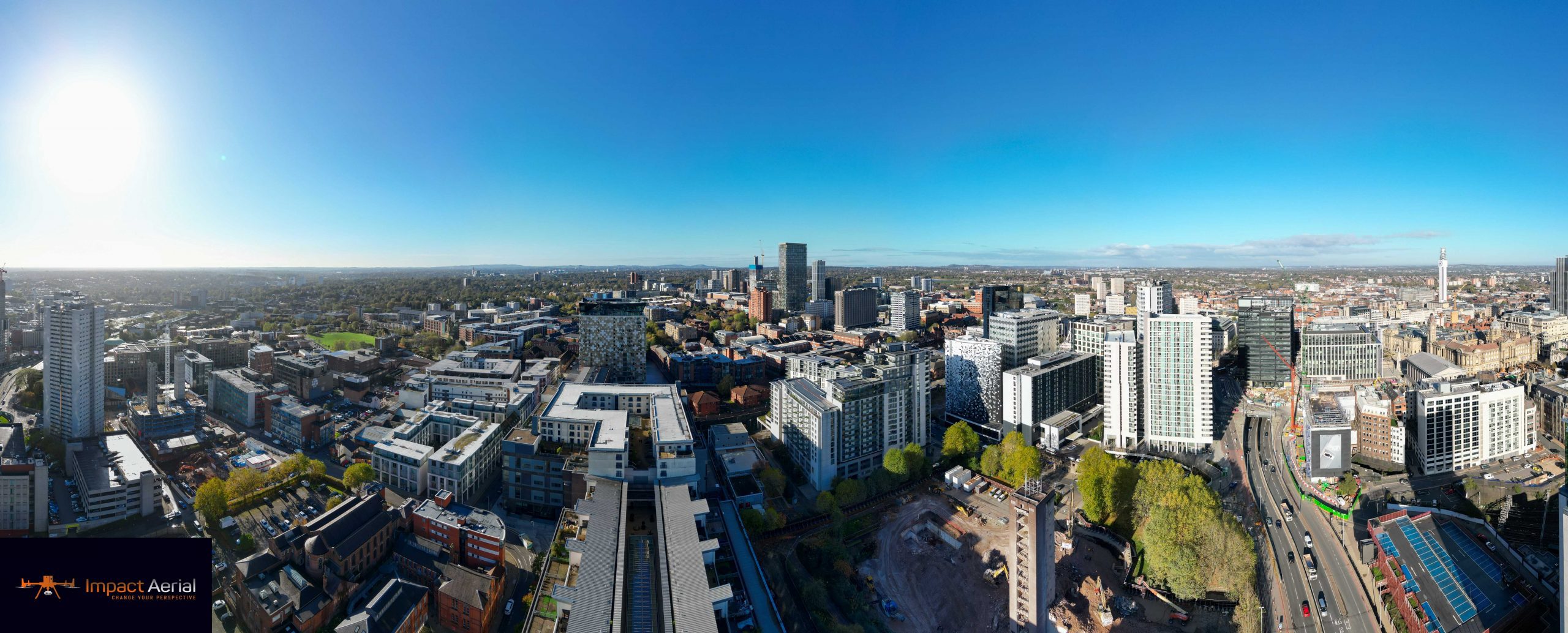
Beyond beautiful imagery, our drones collect invaluable data on the condition of your building, letting you inspect roofs, chimneys, guttering and other inaccessible areas far more accurately, safely and affordably than manned methods allow.
Drones can be fitted with thermal sensors to pinpoint exactly where heat is escaping, and every inspection can be reviewed again and again — eliminating human error from notes and serving as physical evidence of compliance.
All-angle aerial photos and fly-over video that make a home, building or plot stand out and secure more viewings.
High-resolution condition surveys of roofs and structures, with optional thermal data to locate heat loss and defects.
Boundary and pre-construction land surveys, collated into impressive 2D maps and 3D models to inform development.
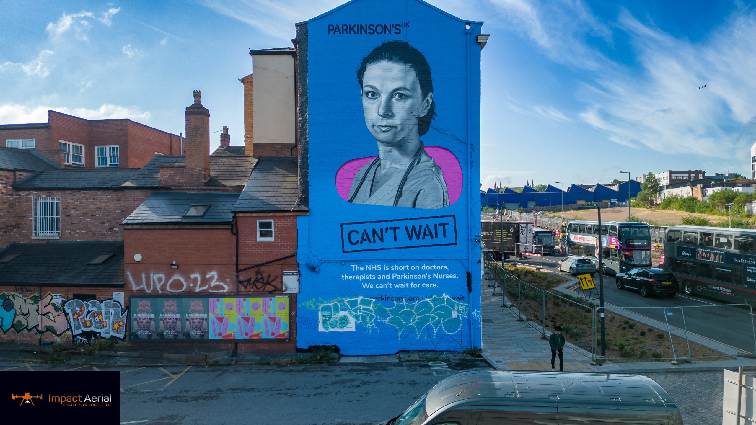
Our friendly team will talk you through drone property surveys in plain terms — and give you a free, no-obligation quote.