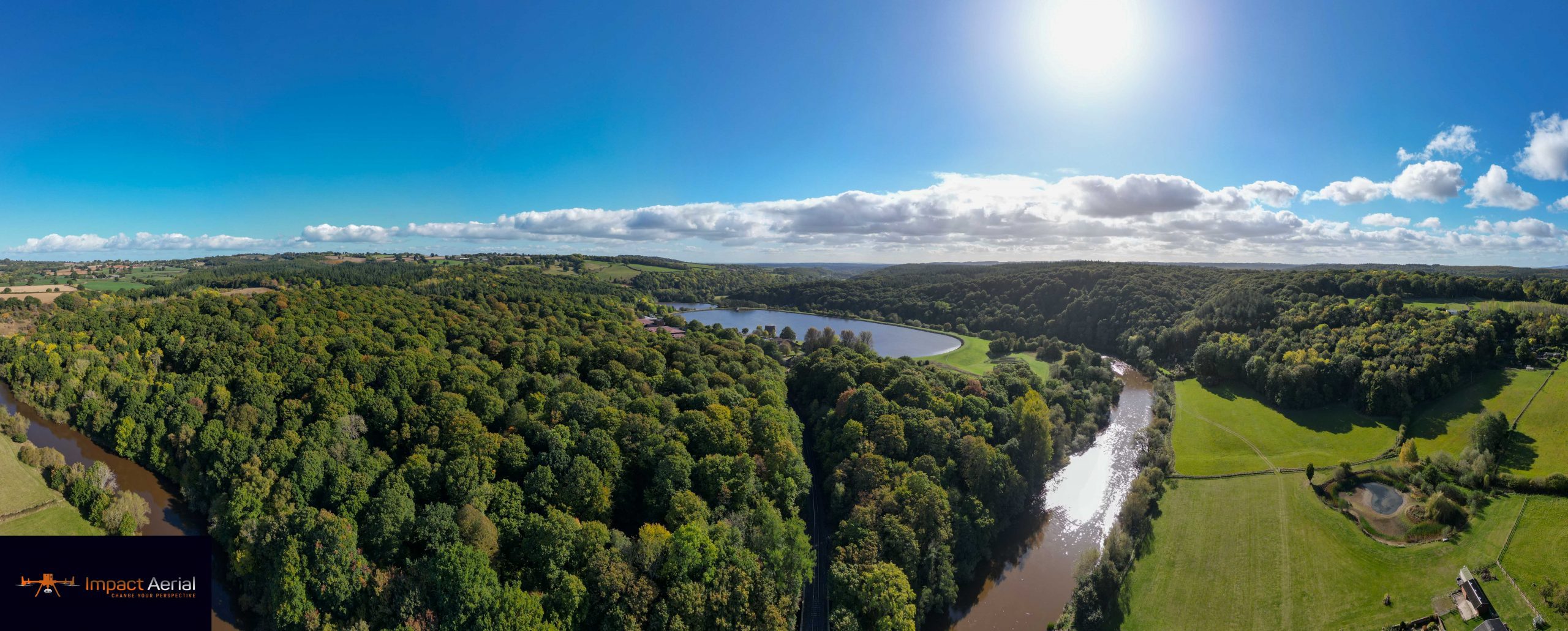
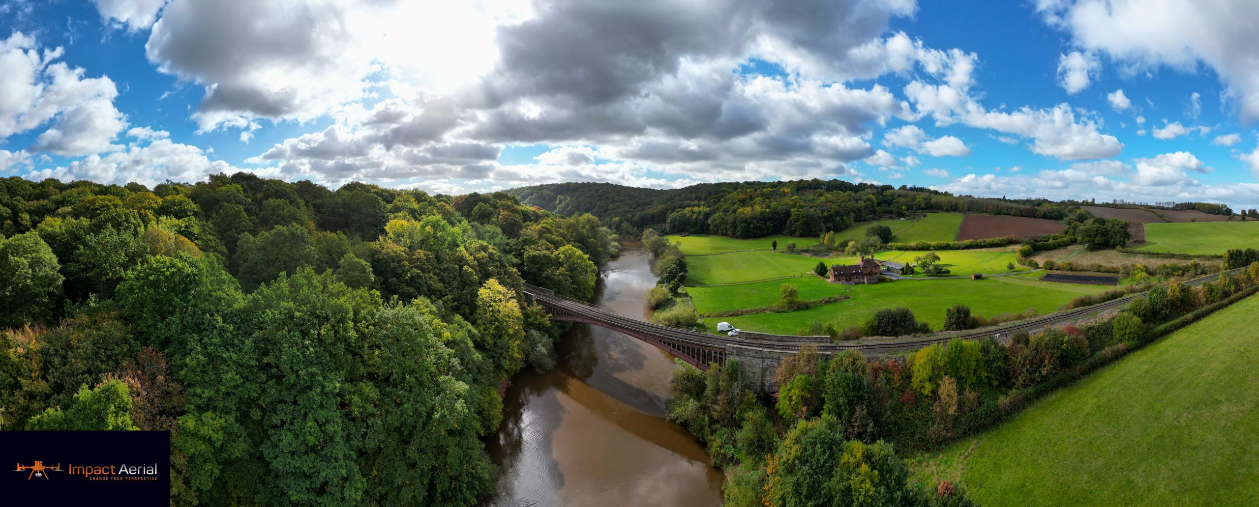
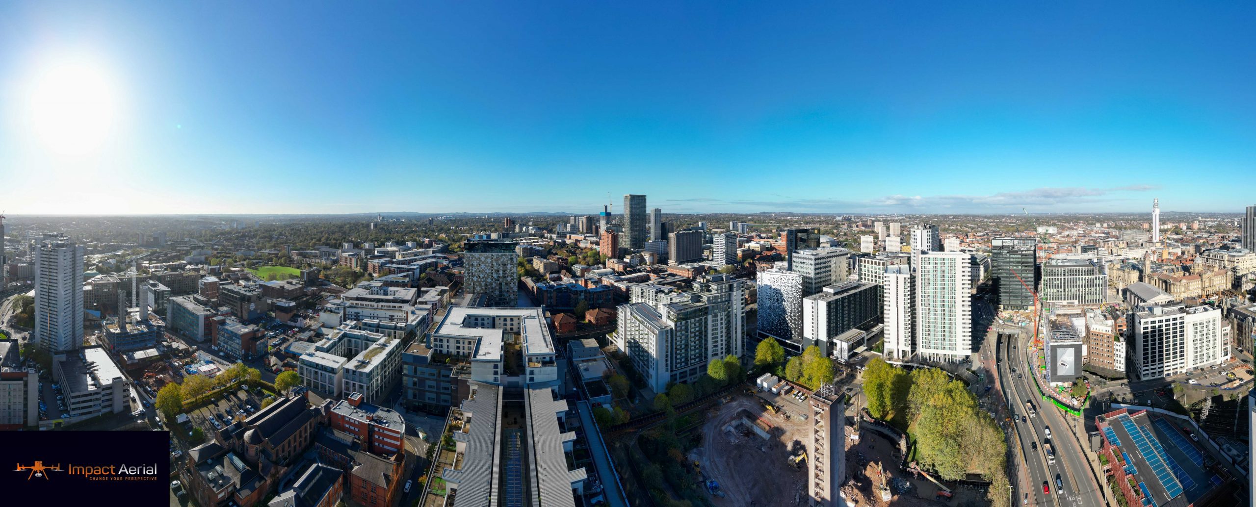
RGB Sensors
Red, green and blue channels stacked to produce full-colour, high-resolution imagery.
Fully licensed pilots. The best 4K equipment on the market. Detailed maintenance reports and professional insight for your next development — from the West Midlands' number one drone surveying company.
Also known as unmanned aerial vehicles, drones are airborne devices controlled remotely from the ground. With the right piloting expertise they can navigate complex terrain and confined spaces, making them ideal for safely surveying land — and they cover that ground far faster than traditional methods.
Drone surveying is the process of flying over selected buildings or plots to gather information using the aircraft's built-in sensors. Capable of capturing high-definition imagery from any angle, the data our drones collect can be brought together into a full 2D or 3D model of the site — without anyone having to climb up there or spend hours on foot.
Our drones carry a range of sensors to capture exactly the data you need — then we process it into useful models.
Red, green and blue channels stacked to produce full-colour, high-resolution imagery.
Captures light beyond ordinary photography for vegetation, land and condition analysis.
Laser pulses that detect small objects and see through tree cover and foliage during mapping.
Heat cameras that identify water and supply lines, leaks and energy loss across a structure.
We stitch the imagery together into high-resolution 2D and 3D outputs, each picture a geolocated data point in the finished survey.
Like a Google Earth view, but far sharper — corrected for distortion so you can measure true distances across large plots.
Contour maps and colourful Digital Elevation Models that reveal the peaks, valleys and troughs of your terrain.
Complex 3D models that reproduce the colours, textures and detail of the area you're inspecting.
Whether you need to assess land, determine boundaries or examine a roof, a drone survey saves time and keeps people out of harm's way.

Tell us about your site and we'll recommend the right sensors and outputs — then give you a free, no-obligation quote.